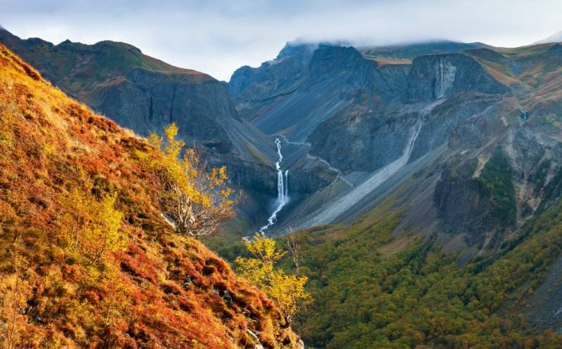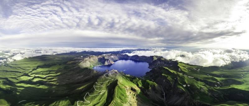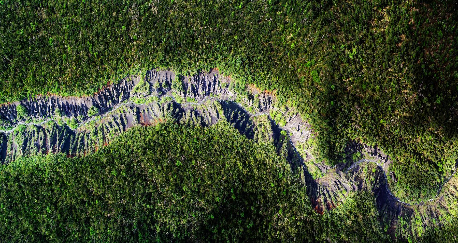


The Changbaishan UNESCO Global Geopark is located in the southeastern part of Jilin Province, China, covering an area of 2,723.832 square kilometers. It lies at the junction of the northeastern margin of the North China Plate and the the Mesozoic-Cenozoic Pacific Rim volcanic orogenic belt in eastern Eurasia. The Geopark is mainly characterized by volcanic landforms, tectonic erosion features, and fluvial landscapes. The fascinating geological features and diverse rock types record multiple significant volcanic eruption events. Particularly, the "Great Eruption" over 1,000 years ago (the Millennium Volcanic Eruption) stands as one of the largest volcanic eruptions in modern history. It had an extensive impact, with distinctive volcanic debris deposits, making it of great international scientific significance. Centered around the main peak of Changbaishan, the geopark features giant compound volcanic cones and lava plateaus. Due to its unique geological structure and specific geographical location, the Geopark displays a rare vertical distribution spectrum of mountain zones. Additionally, the Geopark is home to rich biodiversity and stunning ecological landscapes. Changbaishan has long been regarded as a sacred mountain by the people of Northeast China, and is also the birthplace of the Manchu people and a settlement area for the Korean ethnic group, boasting unique cultural traditions.