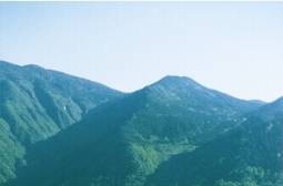
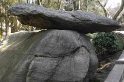
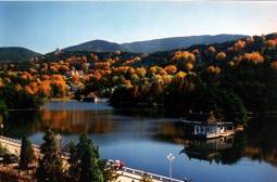
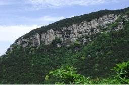
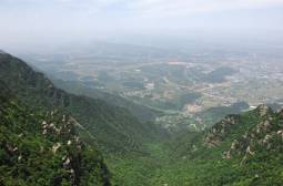
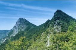
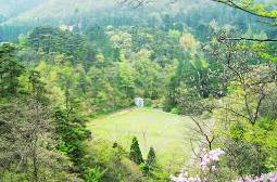
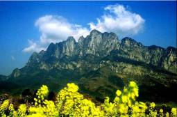
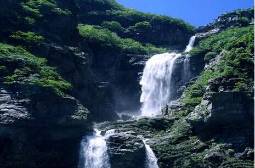
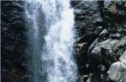
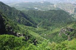
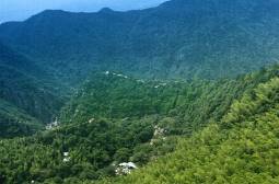
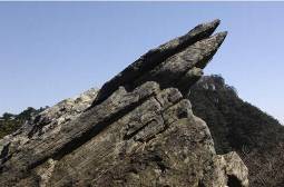
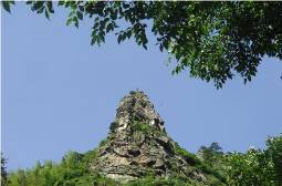
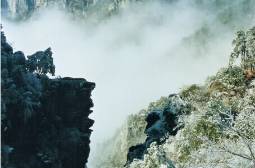
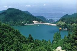
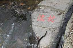
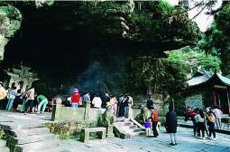
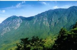
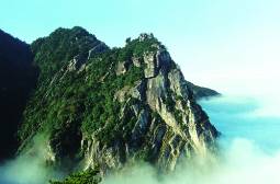
Lushan Global Geopark is located in the north part of Jiangxi Province. It is located south of Yangtze River and to the east of Poyang Lake. It covers an area of 548 k㎡. The population in the core zone is about 10,000. The average elevation on the top of the mountain is around 1200m above sea level. In 1996 Lushan was admitted into the UNESCO World Heritage list as the 1st World Cultural Landscape in China. In 2004 Lushan became one of the 1st global geoparks in the Global Geopark Network. Lushan is a famous mountain for its unique multi-genetic complexed landforms. It has typical mountain quaternary glaciations in the east of China, horst fault-blocking mountain and metamorphic core complex structures. Its landforms are intergraded with botany, culture and history. The landscape is dense with forest, running brooks, valleys, mountain peaks and waterfalls. Foreign villas in different styles and multiple religions abound. The deep culture connotation, the history and the continued western and Chinese cultural development have led to this place being called “the Sacred Mountain”.
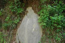
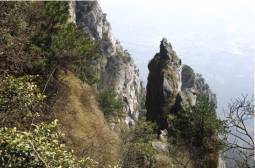
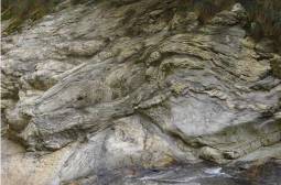
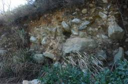
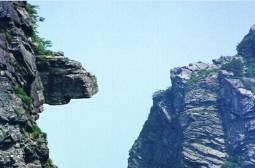
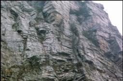
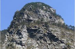
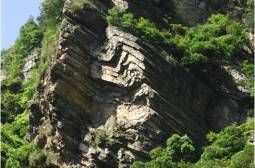
The Precambrian metamorphic rocks are mainly distributed in the south of Lushan Global Geopark. The Nanhuan sandstones are mainly in the north of the geopark. The Sinian and Lower Paleozoic neritic clastics and limestones are briefly in the east, west and north slopes of the Lushan Mountain. The Upper Paleozoic limestones are sparsely distributed in the marginal area. The Neoproterozoic granite gneiss and Mesozoic granite are exposed in the central area of the geopark, and the Mesozoic basic dykes in the southwest end of the geopark. The major structure in the geopark is the MCC structure, the metamorphic core is composed of the Lower and Middle Proterozoic median- and hypo-metamorphic rocks. The low-angle main décollement fault in the margin of inner metamorphic core is deformed into a bow-like shape. The upper block of the main décollement fault is composed of the Meso-, Neo-Proterozic epi- metamorphic rocks and Paleozoic sedimentary rocks, with a series of detachment faults and corresponding superficial folds, plastic folds are locally developed. On the basis of MCC structure, the Lushan block mountain was formed during the Cretaceous to Neogene. The appearance of Lushan Mountain is a fault block mountain, it is an MCC structure in entity. The geomorphic landforms are very peculiar, they gather the fault-block mountain, glacial erosion and flowing water landforms together.
Of the famous mountains in China,Mount Lushan is the frist where Chinese and foreign scholars got together to carry out academic activities. In A.D 391 and 410,a Nepalese and an Indian Chan master was respetively invited by Hui Yuan to Mount Lushan to transate Buddhist scriptures.Hui wrote foreword for these translated versions of Buddhist scriptures.In A.D414,a Nepalese Chan master came to serve as abbot of the Guizhong Temple here. In his works“Biographies of Eminent Monks”completed in A.D519,Hui Jiao—a famous Buddhist monk,wrote that“many foreign monks believe that there is a Mahayana master in China.For this reason,they would kneel down eastwark to kowtow to Mount Lushan whenever they worship.” The Sukhavati theory of Hui Yuan and the theory of“sudden awakening to become a Buddhist”of Zhu Daosheng both originated in Mount Lushan.They consititute an important component part of the theorise of Chinese Buddhism and philosophy and have left their impact on the development of literature and art in not only China but also the Orient as a whole. Jianhen,a famous Buddhist master in the Tang Dynasy,brought the Sukhavati theory of Hui Yuan to Japan.Till today,the Sukhavati sect of Buddhism in Japan regards the East Grove Temple in Mount Lushan as its“ancestral home”. During his stay in Jiangxi from 1595 and 1598,the Italian missionmary Matteo Ricci preached many times at the White Deer Cave Academy in Mount Lushan.The astronomy,geography,mathematics and other natural sciences were well received by the teachers and students of the academy. In 1804,Sir John Barrow,counselor at the British Embassy in China,went to great details to describe the landscape,plants and culture of Mount Lushan in his English book“Notes on China Travel”. The frist person who told the world the local chronicles of Mount Lushan is Wyile Alexander,leader of the China Mission of British Christian organization,the Church of England.In his English book“Selected Documents of China”completed in 1867,he gave prominent space to the“Notes on Mount Lushan”written by Chen Shunyu of the Song Dynasy. Mount Lushan saw new development in morden times when more than 30 Christian missions from over 20 countries as well as Buddhist,Islamic and Taoist settled down here,with the total number of religious sects from the West and the East reaching nearly 40.In 1922,there lived in Mount Lushan 2,497 foreigners of nearly 20 different nationalities,of whom most were missionaries.In September 1933,foreign religious missions held a meeting in Mount lushan. Buck Pearl,the woman writer of the United States who won the Nobel Prize for Literature,visited Mount Lushan frequently during her life to absord literary nutritions,Her father was buried in Mount Lushan. In 1934,Li Siguang and geologists from Britain,Germany,France and Sweden held a seminar in Mount Lushan to discuss issues about Lushan’s Quatenary glaciers.
From September 11 to 15, 2024, the 8th APGN Symposium was held in Cao Bang UGGp, Vietnam. Headed by Mr. SHAO Jiusi, the director of Lushan UGGp Administration Committee, Lushan UGGp delegation was invited to participate the conference. On September 12, 2024, on behalf of Lushan UGGp, Mr. SHAO Jiusi signed the twin geopark MOU with the Tabas UGGp of Iran . The newly signed geoparks agreed to have more cooperation on geo-heritage conservation, geo-science education, geo-tourism, and will visit and exchange with each other. The twin geopark signing ceremony between Lushan UGGp and Tabas UGGp was held in Cao Bang UGGp Provincial Convention Center, Viet Nam. Mr. SHAO Jiushi, Director of Lushan UGGp Administration Committee, China and Mr. Ehsan Zamanian, member of the Scientific Committee of Tabas UGGp, the representatives of Ms. Vissar Yehia Shebani, Director of Tabas UGGp Administration Committee, Iran, signed the twin geopark MOU on behalf of Lushan UGGp and Tabas UGGp respectively. Mr. HE Qingcheng, executive deputy director of China National Geoparks Network Center, and Dr. Professor Alireza Amrikazemi, scientific coordinator of Qeshm Island UGGp, chairman of National Iranian Geoparks Network (NIGN), UNESCO Global Geoparks Council Member witnessed the signing ceremony. Tabas UGGp, situated in the desert area of northwest of South Khorasan Province, covered and area of 22,771 km2 , which has been referred to as Iran's geological paradise and fossils museum by numerous geological thinkers and scientists, showcasing the uninterrupted evolution of the planet from the Precambrian to the Early Cretaceous periods. There are Naybandan Wildlife, the largest wildlife refuge in Iran and the habitat of the Asian cheetah, and the largest habitat of Ferula assa-foetida in Iran and its half growth area of the world in Tabas UGGp. Tabas UGGp has historically been known as a transportation highway from south and west to east and northeast of Iran due to its special geographical location. This geopark’s unique cultural-historical and natural heritage attracted so many visitors. As famous tourist attractions with long history and culture, the Lushan UGGp, China and Tabas UGGp, Iran have similarities and complementarity in geopark management and conservation. The cooperation agreement signing marks the establishment of a cooperation mechanism of promoting cultural exchange and understanding between Lushan and Tabas to enhance mutual communication and exchange so as to promote information sharing and mutual promotion in geopark management, geological heritage conservation, tourism resource exploitation, scientific research and popularization, tourism marketing, local sustainable economic and social development so as to enhance the sustainable development of global geopark network and geoparks.


