


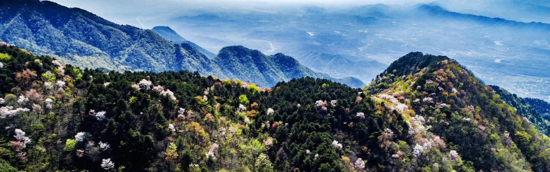


Langkawi UNESCO Global Geopark, located in the far northwestern corner of Peninsular Malaysia, spans an impressive area of approximately 478 square kilometers of land and, including water bodies, it covers a total area of 920 square kilometers. It is renowned for its rich geological heritage and stunning natural landscapes. Established in 2007, it holds the distinction of being Southeast Asia's first UNESCO Global Geopark and the birth place of Malaysia.
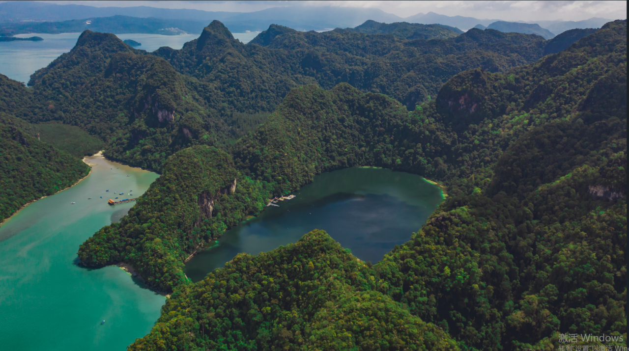
The geopark encompasses several notable conservation areas, including the Machinchang Cambrian Geoforest Park, Kilim Karst Geoforest Park and Dayang Bunting Marble Geoforest Park. These areas showcase a diverse range of geological formations, from ancient rock sequences to unique karst landscapes, offering visitors a glimpse into Earth's early history.
Beyond its geological significance, Langkawi UNESCO Global Geopark is celebrated for its biodiversity, featuring mangrove forests, caves, and a variety of flora and fauna. It serves as a model for conservation and sustainable tourism, inviting visitors to explore its natural wonders while promoting environmental education and community engagement.
Langkawi UNESCO Global Geopark also features a vibrant Geopark School Program aimed at fostering awareness and understanding of geological and environmental conservation among students. Initiatives such as the Geopark Corner in schools and interactive activities like field trips and workshops allow young learners to engage with the unique natural heritage of Langkawi under the Geopark Junior Guide Program.
Adding to its distinctiveness, the geopark is home to iconic landmarks such as the Langkawi Sky Bridge, the Kilim Karst mangroves, and the Lake of Dayang Bunting. These geopark icons not only symbolize the island's natural beauty but also serve as focal points for tourism and education, enriching the overall visitor experience.


Website address: https://langkawigeopark.com.my/